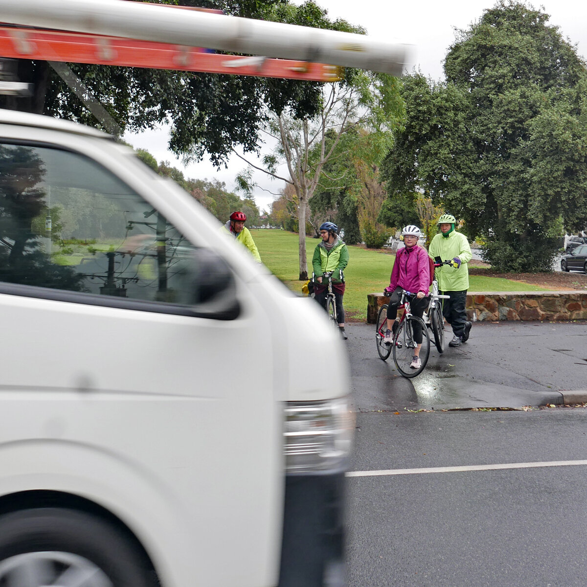
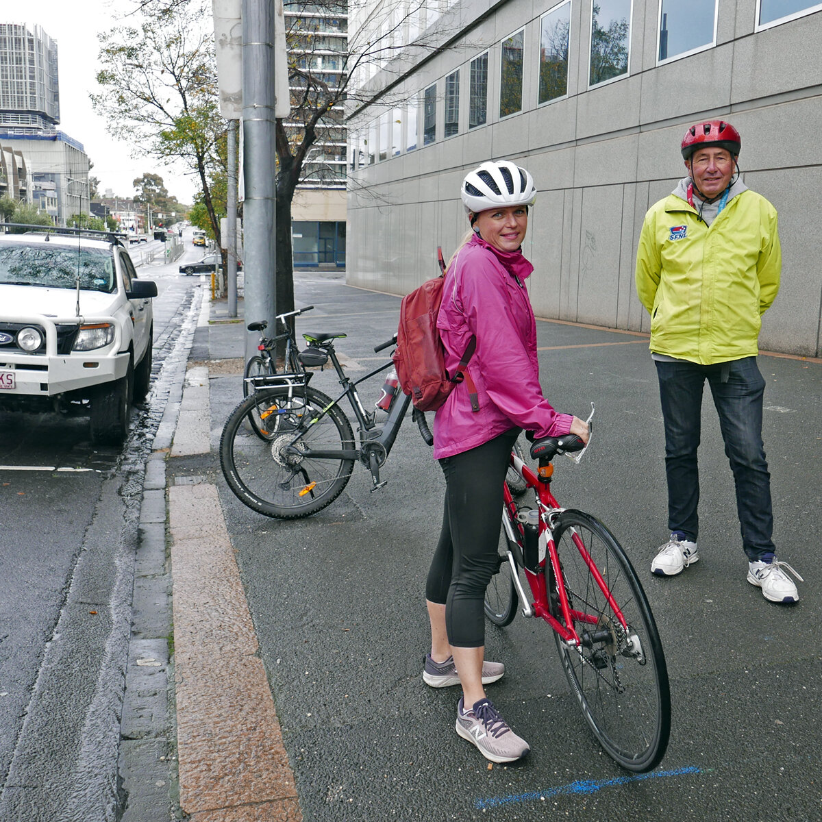
On Friday 30th May PPBUG took City of Port Phillip councillors Heather Cunsolo and Justin Halliday for a bike ride around Port Melbourne and Fishermans Bend.

Cr Halliday, Cr Cunsolo, Julie, Simon, Geoff from Back2Bikes workshop
Fishermans Bend is a suburb in transition— currently industrial, the plan is for employment areas (north of the freeway) and residential (south of the freeway). The challenge is to ensure that the infrastructure for the future uses is in place. A recent Port Places post discussed how this issue was addressed in Port Melbourne 20 years ago.
“If Council wanted people to walk, it had to be safer, especially for children.
Parents with children at kindergarten in Port Melbourne and primary school in Albert Park ran the gauntlet of the Pickles x Liardet and Richardson St intersection daily. In 2005, traffic lights were installed ahead of Becton’s The Park development…. This came about through the patient and tenacious advocacy of council officer Meg Selman to an extremely reluctant VicRoads.”
And in Fishermans Bend:
“Investing in walking will stitch the established residential areas of Port Melbourne to the new residential areas of Fishermans Bend. Communities will grow around the primary school…The gold standard will be when children can make their way independently to school with their parents having confidence that the routes they take are safe. At this stage it seems impossible….But so it did on Pickles St 20 years ago. “
City of Port Phillip’s Integrated Transport Strategy 2018—2028 - “Bike riding network improvements” plan for Fishermans Bend and Port Melbourne.

The Victorian Government’s Fishermans Bend Strategic Framework - Cycling Infrastructure Plan

Our route
Points of note on the tour.
Our starting point, the Garden City bike route is one of the few completed Integrated Transport Strategy routes. It’s a shared path, which is no longer considered best practice for well-used commuter routes. There has been some conflict about use of the shared path section.

Garden City route crossing.
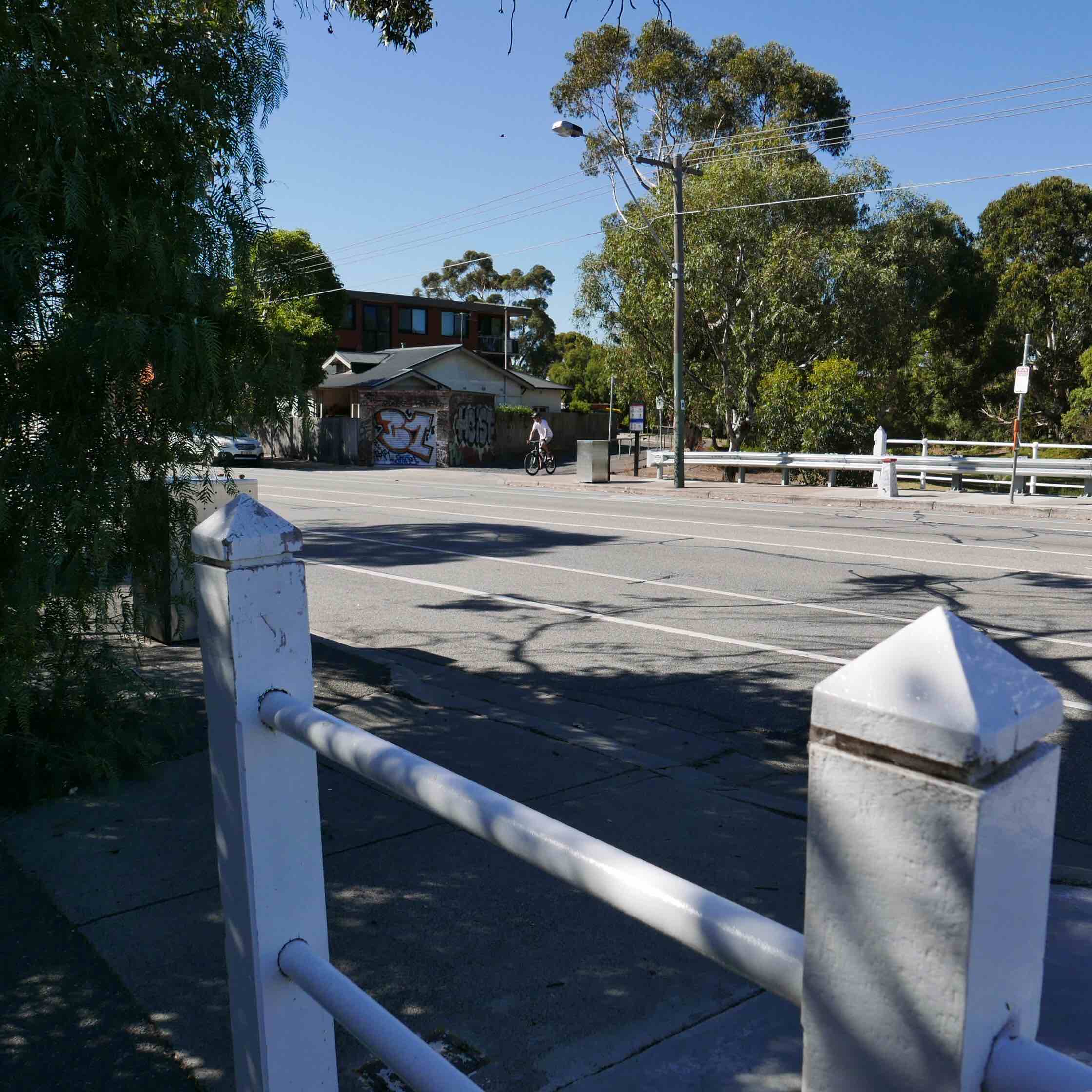
Next, Williamstown Road. Poor amenity for cyclists, with a high level of traffic and unprotected, painted lanes in the door zone. There are two planned crossings — one at Smith Street, near the new primary school; and one at Beacon Road, near the new Fishermans Bend High School and JL Murphy Reserve. But more on that later in the tour.

This is the site for one of the planned crossings of Williamstown Road. On the south side it connects to Leith Crescent and Howe Parade. On the north side is Smith Street and the new Fishermans Bend Primary School under construction.
Smith St and streetscape outside Fishermens Bend Primary School. This is marked on the ITS as an off-road shared corridor. It connects to the planned crossing of Williamstown Rd to the south, and the planned Strategic Cycling Corridor on Plummer St to the north. Currently carries over 2000 vehicles and 95 trucks daily. Council’s original proposal to modify this to a one-way street ahead of the primary school opening was recently rejected by Council.
As one councillor pointed out, under the (oddly unconsulted) new option that passed 6-3 at council last month, instead of the previously planned one-way Smith Street version, the median strip (shown) on Williamstown Road is to be closed instead, to prevent half of the heavy traffic from Williamstown Road turning (hastily) into a Primary School precinct. This new option also proposes that these trucks are to be curfewed, but only during school pickup and dropoff times. Yet no one is clear about who will enforce that, and how.


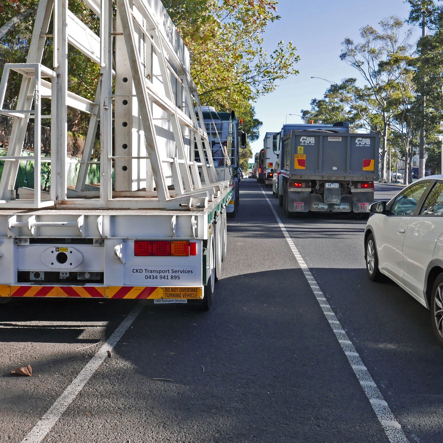
Smith Street, whilst wide, currently has no footpaths at all, and the nature strip is being annexed by legacy businesses with outdoor seating and a food vendor. The street is a constant two-way flow of large trucks, with commercial vehicles dominating the parking places.
Plummer St has no on-road cycle lanes, but presents wide nature strips for possible off-road shared paths. This is something that an earnest council could consider as a way to tick a planning box, draw on State funding and Developer Contribution Fund revenue, and maybe also save lives. As the road is a State responsibility, currently Council claims no mandated role to fix the situation. But they do have one as an advocate to State, a partner in Fisherman Bend urban renewal, and they also have planning powers.

Plummer St is a Strategic Cycling Corridor (East-West), but certainly isn’t safe. It is also a designated “truck by-pass” upgraded by Vicroads to try to move Webb Dock bound trucks off Williamstown Road. It is also the site of a recent cycling tragedy.
Next, Salmon Street and the Salmon Street Bridge. Salmon Street is a Strategic Cycling Corridor (North-South). The ITS shows many planned active transport crossings of the freeway, connecting the future residential and employment centres of Fishermans Bend. These are Todd Rd, street west of Salmon St, Salmon St (connecting to Smith St), Douglas St, Graham St, Ingles St. With the exception of Todd St, these are non-existent or highly dangerous. Currently conditions on Salmon St are extremely inhospitable for people on bikes.


Salmon St bridge has a dangerous grate halfway down the road. The only alternative is a very narrow footpath on the north side (left side of left photo), only accessible by narrow steps.
One Active Transport solution floating about is to install a shared path cantilevered from the side of the bridge, as had been done in many other localities around the world. Council, through its very ambitious Integrated Transport Strategy, has suggested building a lot of new shared path bridges over the M1. Here is one project that already has the supporting structure in place.

The Salmon Street Bridge from the City of Melbourne side. Note that City of Melbourne have installed bike lanes - both on and off-road - following the Strategic Cycling Corridor. But they abruptly end at the bridge and the municipal boundary. Call it the Vegemite gateway to Port Phillip.
Next on the tour, we’ll have look at what the City of Melbourne are doing about getting on with the job of building the better infrastructure needed for a new Fishermans Bend.
Salmon Street off-road shared path (City of Melbourne) approaching the Skills Precinct. The Fishermans Bend Skills Precinct (University of Melbourne campus under construction) where Salmon Street meets the new Turner Street off-road shared path (City of Melbourne).
The Fishermans Bend Urban renewal precinct is split by the municipal boundary, being the M1 Freeway, with only limited crossing points. Both councils have an important job to do in making plans a reality, connect communities, or they could end up with an unlivable mess of people living in isolated developments with deadly roads and no green space.
It also seems that each council is going at a different speed.
Turner Street. A City of Melb project—- a reasonable bidirectional path, made of permeable paving, which deals fairly well with many driveway crossovers.


All driveway crossovers on the new City of Melbourne Turner Street off-road shared path feature rumble strips for cyclists, and speed bumps and signage for vehicles. The landscaping screens out the road to improve the visual experience, and includes seats and tables. It will improve as the trees grow, which is good planning vision.

The Turner Street off-road shared path ends under the Bolte Bridge, where the off-road path turns north towards the river, crosses Lorimer Street and connects with the South Wharf promenade, the CBD and on to the Yarra River trail.

The next “Gateway to Port Phillip” that we investigated is the Ingles Street Bridge. Like the Salmon Street one, it’s a narrow and dangerous crossing for people on bikes, though at least there is access to a footpath on one side.

View from the top of the Ingles Street Bridge over the M1 to Southbank and the CBD. Both the Salmon Street and Ingles Street Bridges have great views, which support ideas that have been floated of creating a highline type project, removing a traffic lane to create a wide landscaped promenade, encouraging people to visit and recreate. Now that could be a great ‘Gateway to Port Phillip’.

This is the Montague Street gateway to Port Phillip: a series of pedestrian crossings under the M1 and crossing the multiple Freeway off-ramps located here. The crossing timings are short, the safety islands are small, and the traffic coming off the freeway is moving heavy and fast. There have been deaths and injuries here when pedestrians and cyclists have been caught short, or rushing drivers blow through red lights.

South Wharf Car Park Connector Path: a poorly signposted back route around the South Wharf building.
Once upon a time there was a more direct and scenic route from Pollywoodside to the Sandridge Trail, between Jeff’s Shed and the Convention Centre. When South Wharf was extended the bike route connection became an annoying afterthought to the developers.
The resulting maze of a route arbitrarily weaves its way around parked cars and freeway pylons. The lighting is poor, which discourages many at night. And the signage is faded or non-existent. If you find yourself lost trying to find your way through here you are not alone. Many people can’t even find where it starts for lack of signage.
It would be great if the shopping centre operator cared to improve and maintain this route, especially as it is on leased public land. Yet another gateway to Port Phillip that needs attention.
The Melbourne end of the busy Sandridge Trail at Southbank Tram Depot. Wayfinding signage is lacking, relying on prior route knowledge rather than highlighting a transport gateway.
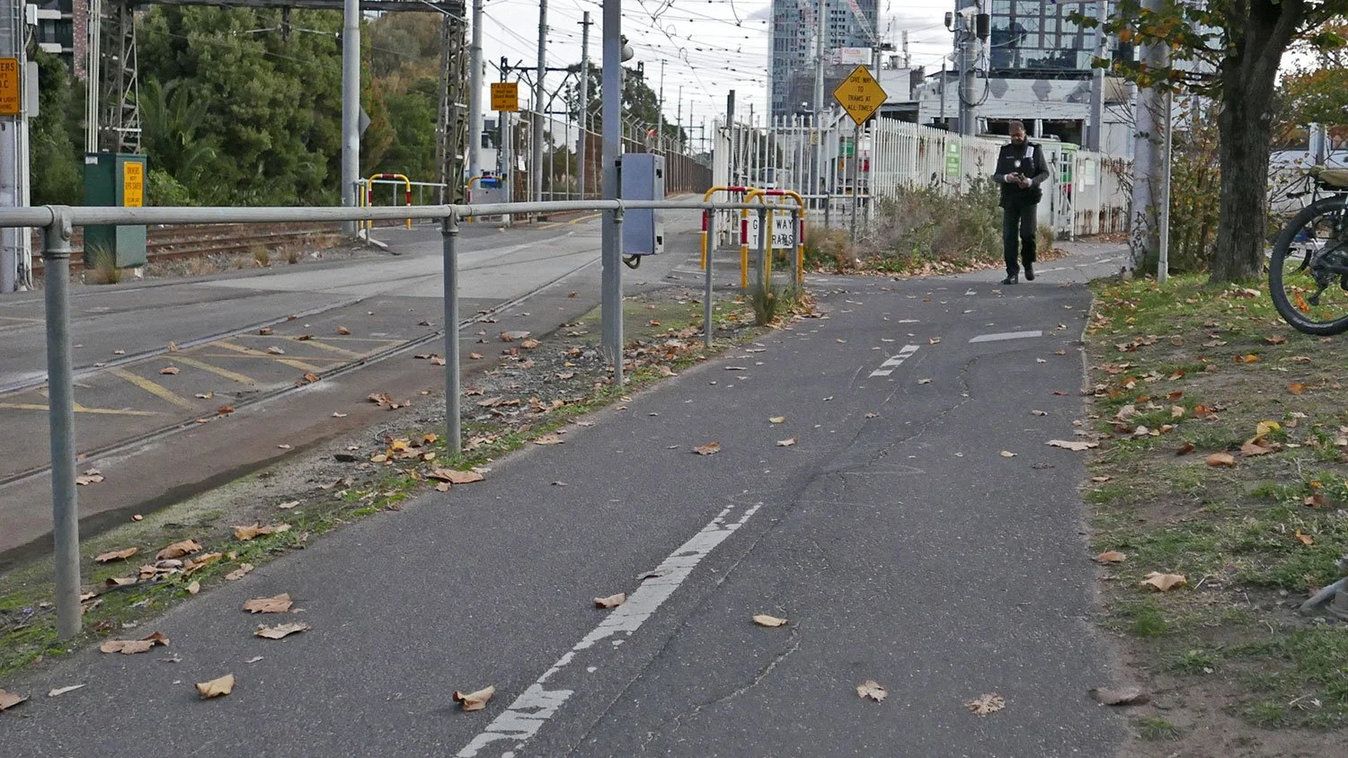
During a previous councillor ride in this ward, PPBUG raised community concerns about the chicanes on the tram track crossovers at either end of the Depot, advocating for wider placement to allow a smoother and easier flow of bikes and pedestrian traffic. It’s good to see the new ones in action - just watch out for the trams!
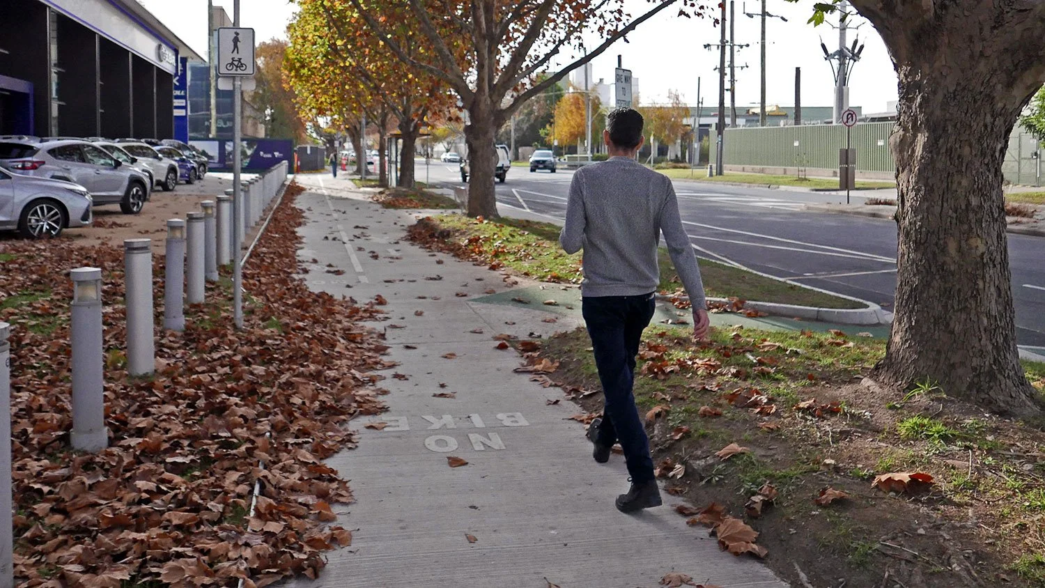
The shared path along Normanby Road, here at the edge of Port Phillip, is quite rooted by trees: bumpy with a blind corner around a pylon to add to the adventure. It needs an upgrade.
[IMAGE BELOW] You notice when the path crosses the municipal boundary, City of Melbourne’s side is newer, wider, more solid and flat.

This part of the Port Phillip - City of Melbourne boundary also has crossovers at Southbank Depot Tram Stop with access to South Melbourne Primary School, the new Kirrup Park precinct and Ferrars Street; and further down the path is the Whiteman Street gateway (pictured) to the popular Cecil Street bike path through South Melbourne and beyond.

Shared paths give a wide range of transport options, including to mobility scooter users pictured here under the freeway.

Back to Bikes on Williamstown Road in council owned premises that they are required to soon vacate.
Geoff from B2B accompanied our ride and updated us on the search for a new workshop for this amazing community group. Councillors on the ride assured us of their efforts to help find a new home. Check out Back2bikes workshop.
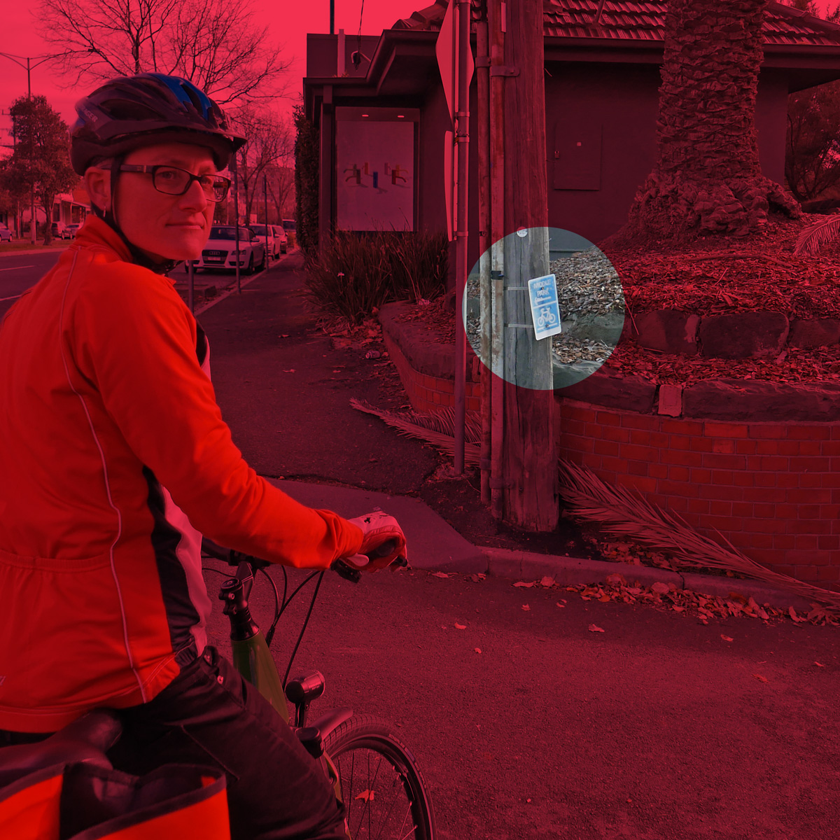
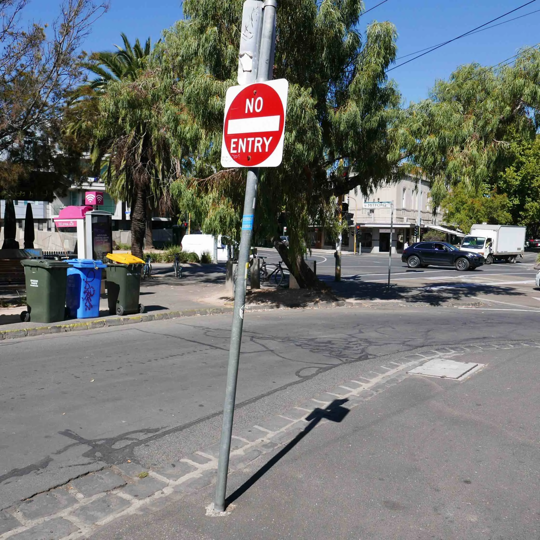
Next on the tour, the scene of the crime: Bridge Street, Port Melbourne. This was one of the Port Phillip streets chosen for the State Government’s Pop-Up-Bike-Lane projects a few years ago. It was also the subject of some vitriol and rage from a few in the community and in the wider culture wars. As a result, many of these temporary bike lanes became past tense.

Bridge Rd/Williamstown Rd
One bit of infrastructure to disappear was this safety lane here at the corner of Bridge Street and Williamstown Road. The now-gone curb blocks stopped cars from running over bike riders as the cars turned left, craning their heads to see oncoming traffic from the right. Nowadays it is a brave bike rider that risks riding into that space.
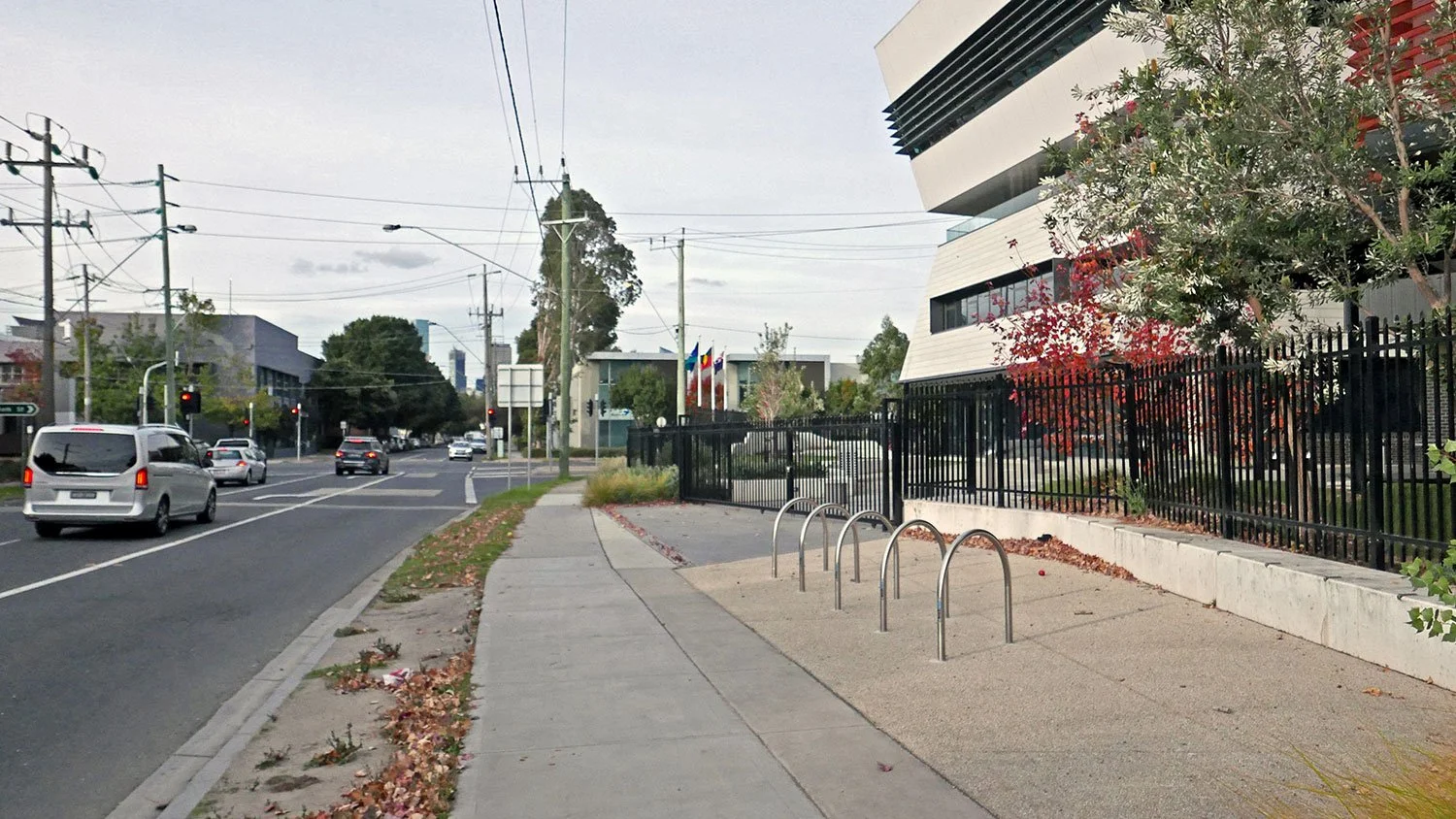
The new Fishermans Bend High School, on the corner of Plummer Avenue and Graham Street. It’s a very important piece of State Government infrastructure for the community in this urban renewal precinct.
And they have installed some bike hoops as part of the build. Perhaps for decoration as there are no bike paths leading to this school. There are no curb cuts for exiting the traffic on dangerous Plummer Avenue. There are not even pedestrian crossings on both corners of the school (as shown).
It seems that a lot of students cut across JL Murphy Reserve to access the school. There are tracks, but no connected bike paths. And then we get to Williamstown Road on the other side of the Reserve, and there is not even a footpath along the road.
It is like the High School dropped from the sky and council doesn’t quite know how to connect it to the rest of the community. There is great opportunity for Council to be a hero here. JL Murphy Reserve does not have to be just about sports fields, there is space between the fields.
[IMAGE BELOW] At Williamstown Road there is a plan to install a pedestrian crossing (mentioned earlier) right here. It will connect JL Murphy Reserve to Beacon Road in Garden City, and on that will be one day the new Federally funded bike path-lette. Currently, students by the score just dash across four lanes of heavy traffic (as shown below) before and after school.

Site of planned crossing, Williamstown Rd.

We cross the road ourselves and here we have - at the end of our tour - the aforementioned Beacon Road. The Beacon Road Bike Path was one of many Active Transport projects announced for funding by the Federal Government’s Department of infrastructure just before the recent Federal Election. The $515,000 (or $550,000 depending on who is telling it) is for a 320m stretch of protected bike lane that will run from Williamstown Road (and the new pedestrian crossing that will be one day installed) and connect to the Beacon Cove Bike Path. When it eventually happens it will be a very welcome connector conduit in our city’s Active Transport network.
The Beacon Road Bike Path is just one of many parts of the network. Every part of a network is important.
Some have said that small sections of bike path are not worth the tax dollars, the rates, the lengthy consultation process, the push back from legacy businesses (and their lobbyists), nor the political juice required. “A bike path from nowhere to nowhere” said one council voice on a small shared path project recently contested (Smith St). Every link is followed by another. And if they are all eventually joined up, and the plan is completed, then communities get connected, and people can live better.
Thanks Councillors for your time and willingness to listen! We will be repeating this ride with some of the other Councillors in a few weeks time.
Relevant planning documents and other links:
Move Connect Live: City of Port Phillip’s Integrated Transport Strategy 2018—2028
Strategic Cycling Corridors in Victoria.
Walking in Port Melbourne and Fishermans Bend A blog post by friend-of-PPBUG Janet Bolitho